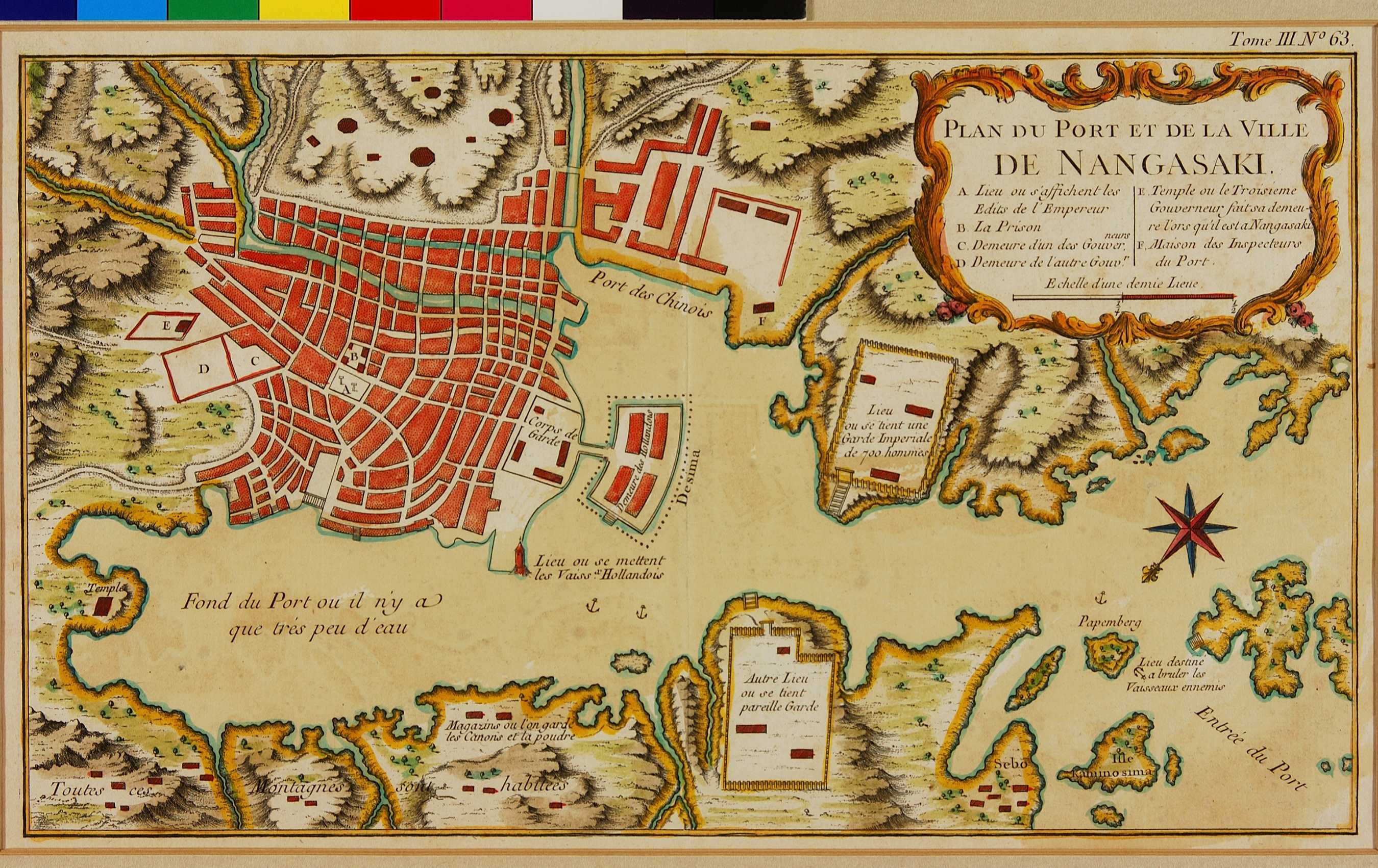
03.04 Plan du Port et de la Ville de Nangasaki (City of Nagasaki)
-
-
Bellin自身が1763年に手がけた地図を簡略化して作成されたと思われる長崎港の図である。説明文はフランス語である。長崎港の港口に当たるところには、両側に御番所が設けられ、「700人の武官がここに詰め」長崎港の警護に当たっていたとフランス語で説明されている。
Bellin was the chief French hydrographic engineer and prolific mapmaker, initially responsible for charting all the known coastlines of the world. His 1763 engraving of the port and town of Nagasaki is a simplified version of that which appeared in Kaempfer's History of Japan. On either shore on the approach to Dejima there are two garrisons where it is said there are stationed 700 men of the imperial guard.