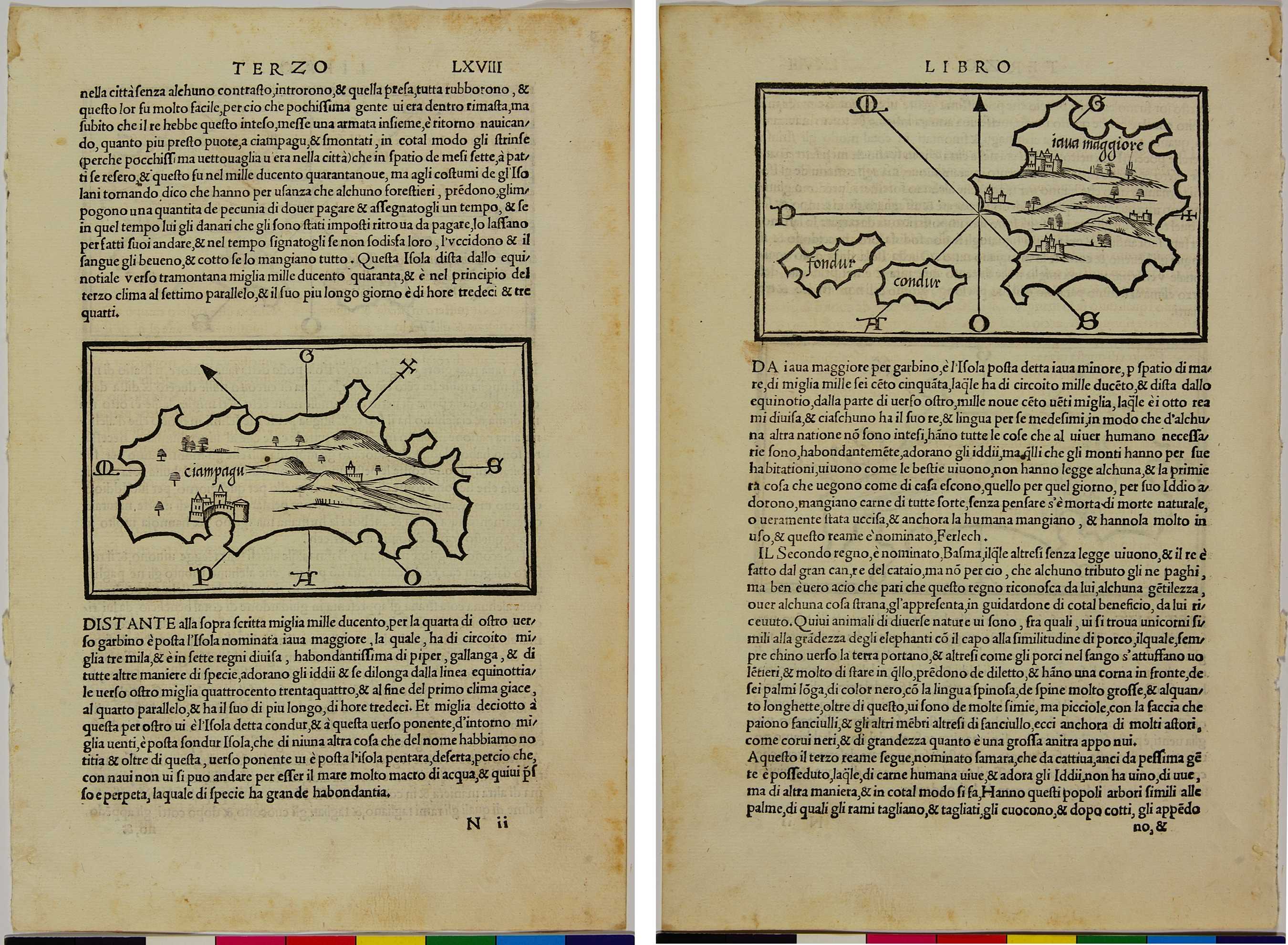
01.01 Ciampagu
-
-
単独の日本地図としてはヨーロッパで最初に印刷された物で、1528年にヴェニスで刊行された地図帳の中に掲載されている。この本にある日本についての記述は、マルコポーロの『東方見聞録』に基づいている。莫大な金を産出する島とのマルコポーロの口述から想像したと思える宝島のような日本地図である。
The first printed European-made map to show Japan exclusively was published in an atlas in 1528 CE in Venice. The description of Japan in this book was taken from the 13th-century travelogue, The Travels of Marco Polo. The tales of this famous traveller told of Japan as a treasure island abundant in gold.
-
関連記事
-
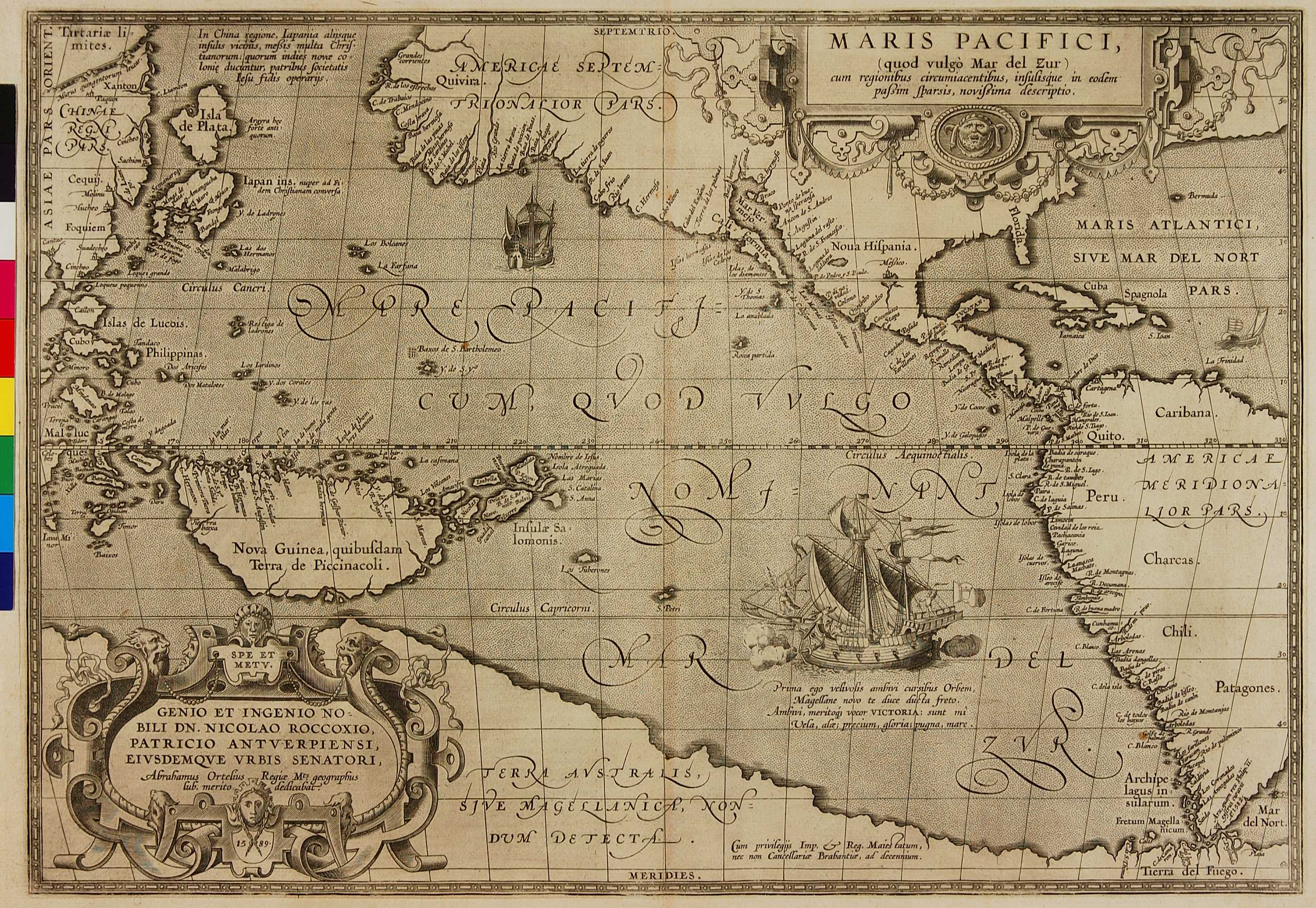
01.02 MARIS PACIFICI (Pacific Ocean)
本州の1/3ほどの大きさをしめる紀伊半島の北に東北地方...
-
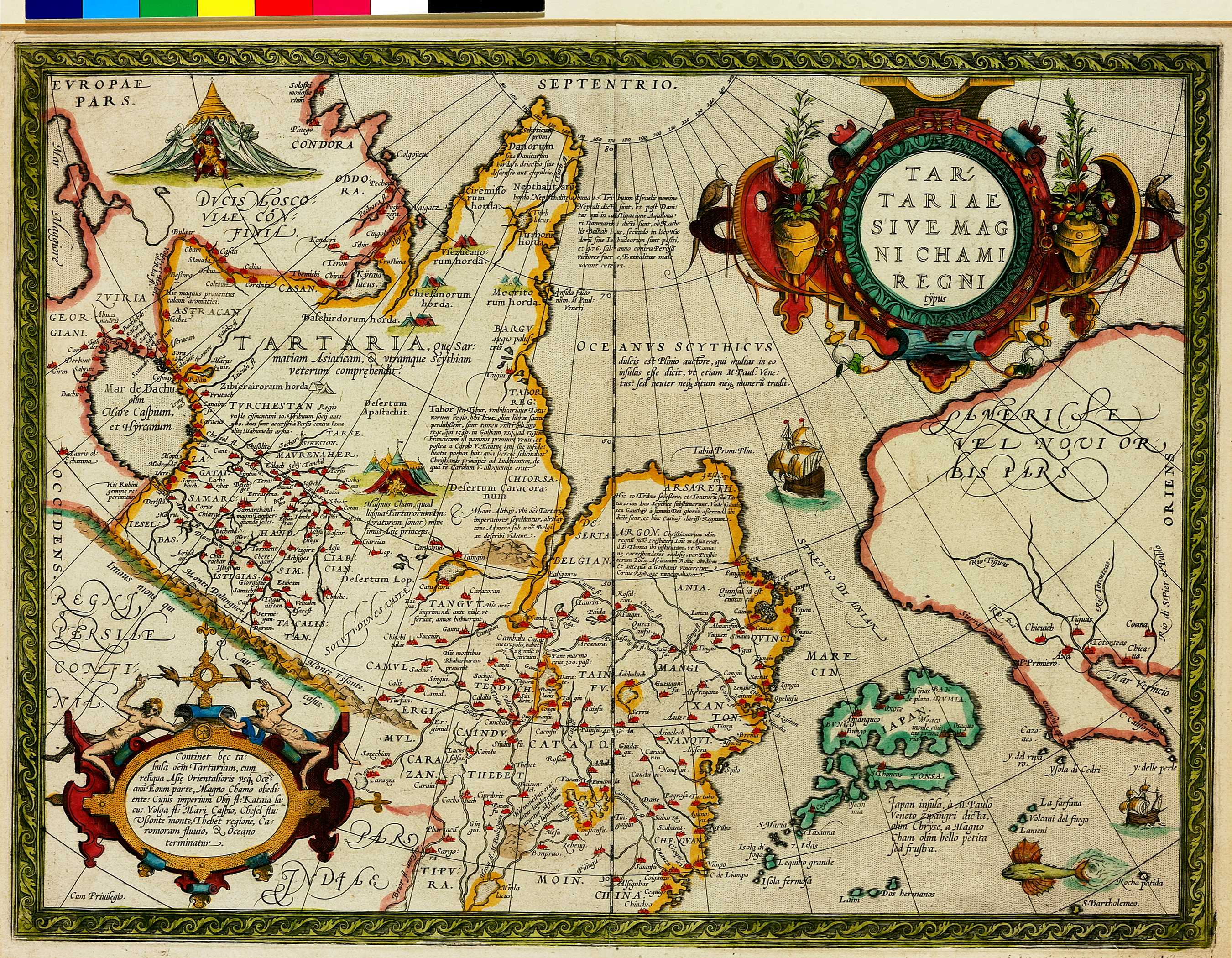
01.03 TARTARIAE SIVE MAGNI CHAMI REGNI (Tartary, or the Kingdom of the Great Khan)
01.02の地図と同じ本に掲載されている地図にもかかわ...
-
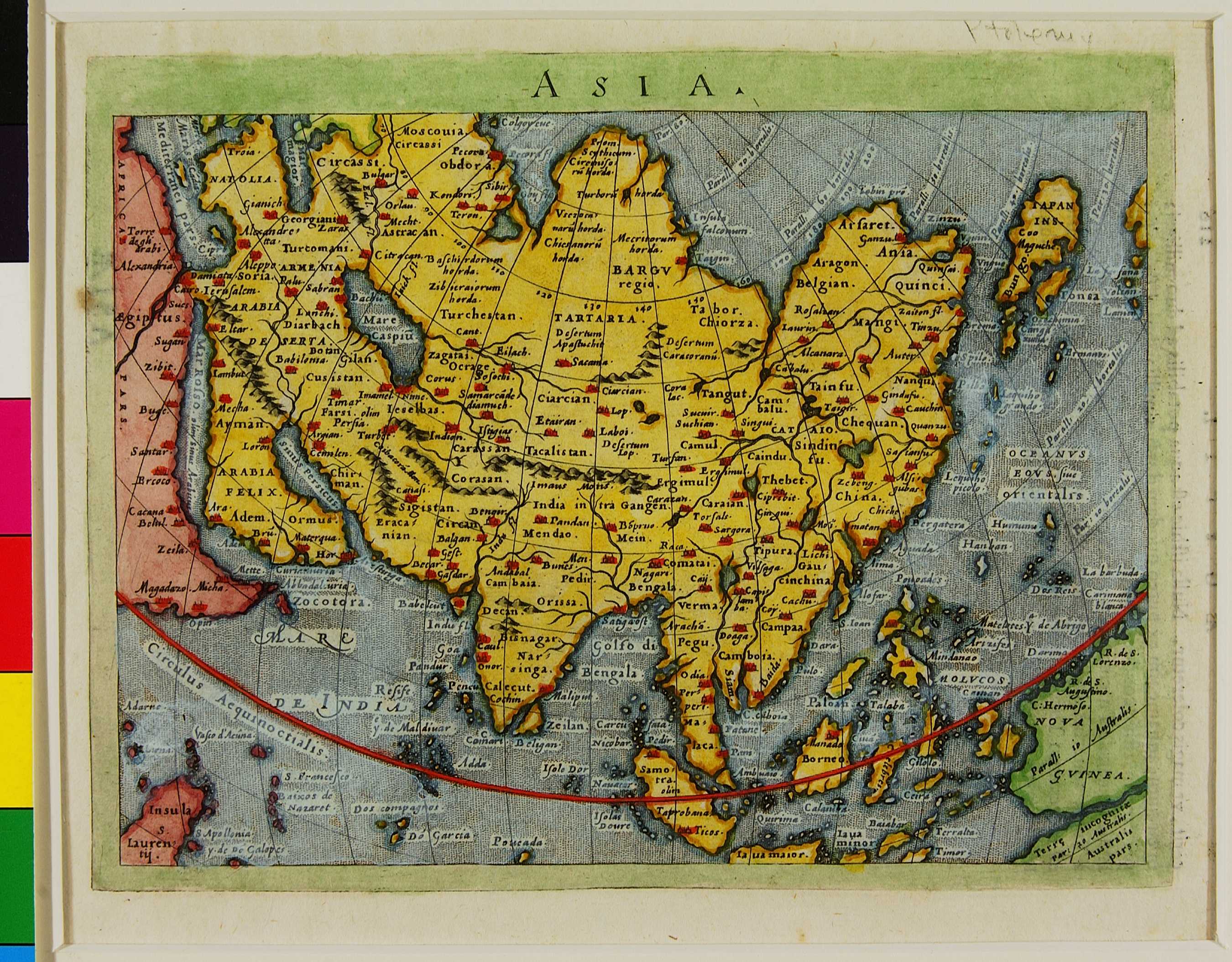
01.04 Asia
この図の右上に描かれている島が日本である。日本人の学者...
-