05.09 CARTE DU JAPON (Map of Japan) [30]
-
-
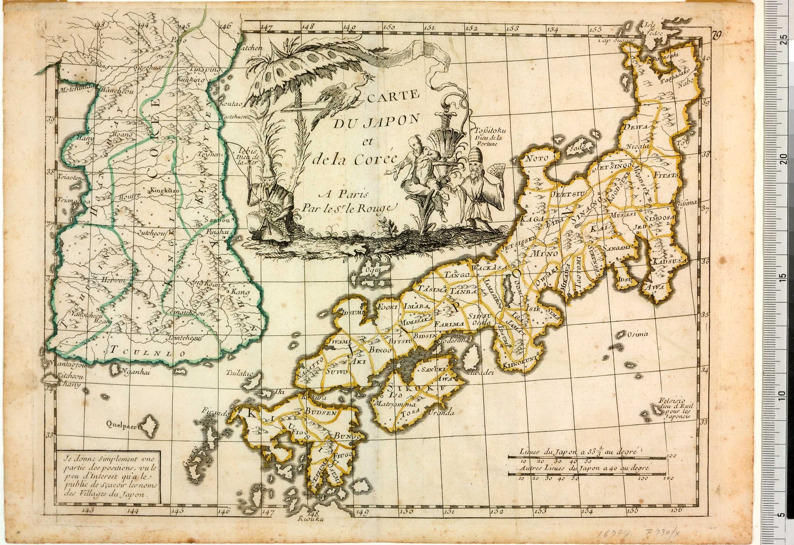
フランス人製図家のLe Rougeはケンペルの1727年の地図 (Cat. 30. Imperivm Japonicvm in Sexaginta et octo provincias Divisvm) を基にして、日本と朝鮮の地図を描いた。ケンペルの地図同様、恵比寿と福禄寿が描きこまれている。左下の書き入れに日本の村々の地名にはあまり関心がないと宣言されているように、この地図には地名がほとんど記入されておらず、国名のみである。
The French cartographer Le Rousge illustrated this map of Japan and Korea with Iebis, God of the Sea, and Tossitoku, God of Fortune (Ebisu and Fukurokujû), borrowed from Kaempfer's 1727 map (Cat. 30. Imperivm Japonicvm in Sexaginta et octo provincias Divisvm). With hardly any place-names identified, only provinces, the text in the lower left declares that this is becase there is 'little interest in the names of the villages of Japan'.